
2021.03.27
ドローン大学院 Pix4Dmapperドローン測量モデリングプログラムを開催
In ドローン大学院
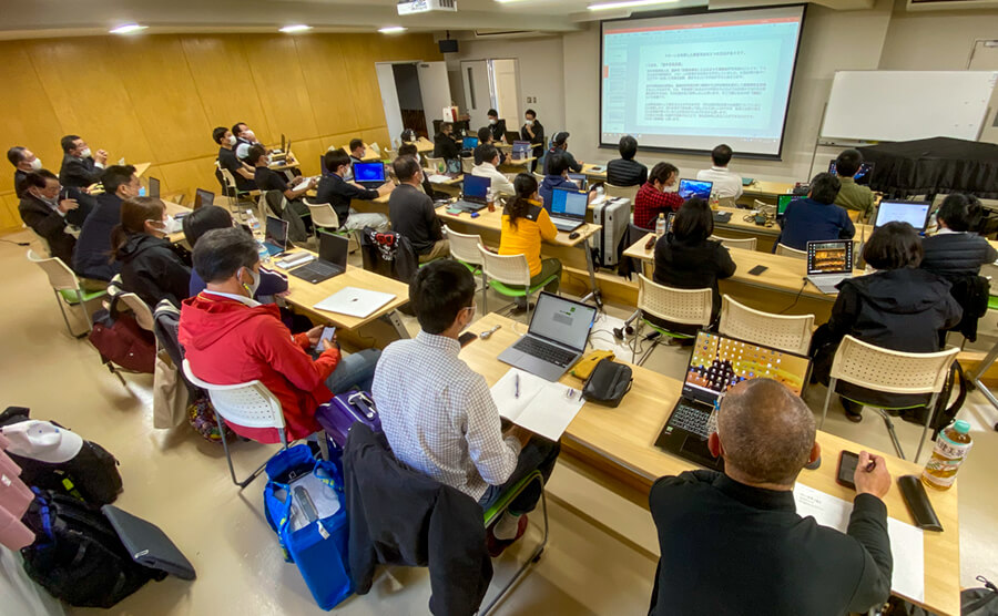
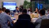
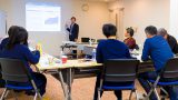
2021年3月27日(土)〜28日(日)、学校法人 嶋田学園 福岡国土建設専門学校敷地内と、学校法人 嶋田学園 飯塚高等学校校舎をドローンで撮影し、 Pix4Dソフトで解析することにより、測量データや3Dモデリングデータの生成ができるようになるためのセミナーを開催しました。東京・名古屋・大阪・瀬戸内・博多の全国キャンパス修了生であるドローン大学院生が一同に続い、精度の高い UAV測量を行うために必要な知識と技術を身に付けました。
Drone Graduate School Pix4Dmapper Drone Survey Modeling Program Held
From Saturday, March 27th to Sunday, March 28th, 2021, the school corporation Shimada Gakuen Fukuoka National Land Construction College premises and the school corporation Shimada Gakuen Iizuka High School building were photographed with a drone and analyzed with Pix4D software. , Held a seminar to be able to generate survey data and 3D modeling data. Drone graduate students who are graduates of the national campuses of Tokyo, Nagoya, Osaka, Setouchi, and Hakata have all acquired the knowledge and skills necessary to perform his highly accurate UAV surveys.